MAAT fuses satellite radar with AIS to reveal ship traffic through clouds, darkness, and disabled transponders — so nothing slips past your coverage area.
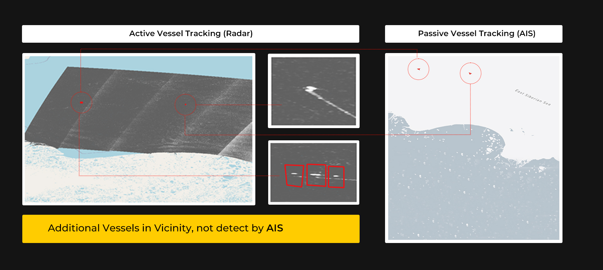
Same stretch of water, same moment. 3 vessels visible on radar never showed up on AIS.
Daily radar captures of the Northwest and Northeast Passage, 10–40m resolution SAR imagery.
SAR-based detection across 5 European regions, with an average 5-day revisit time.
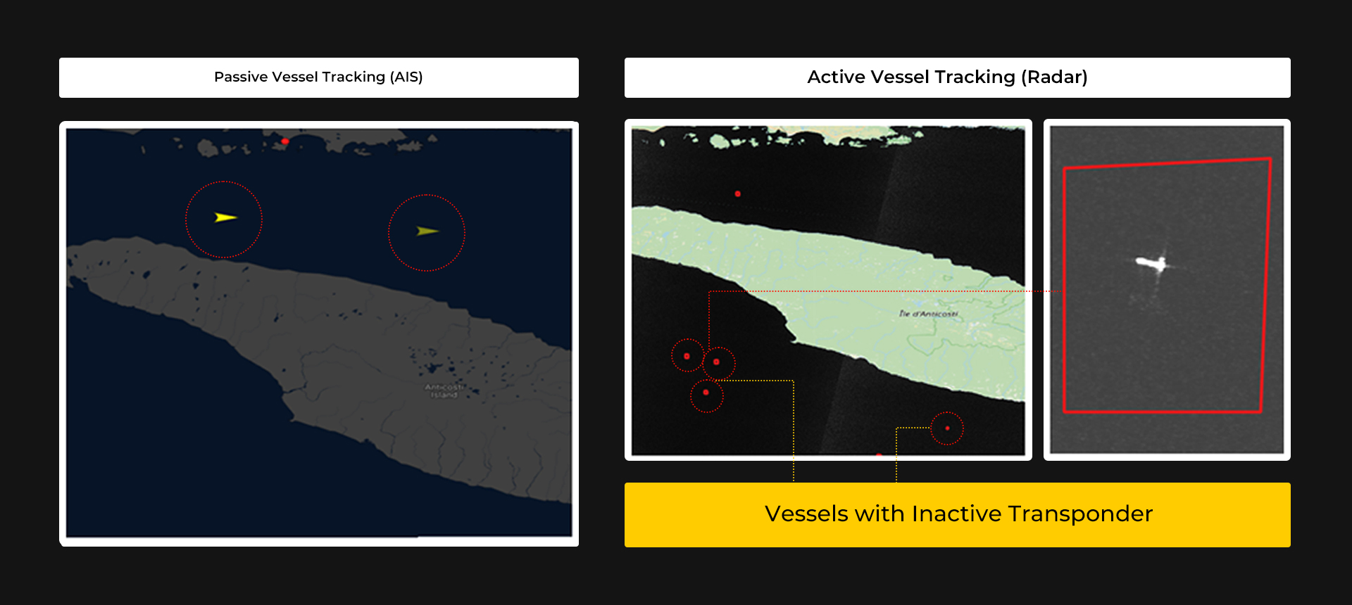
Passive AIS shows 2 vessels self-reporting their position. Radar imagery of the same waters, same moment, picks up 4 additional contacts with no active transponder — including one large vessel resolved in the zoomed SAR chip on the right.
⚠ Vessels with inactive transponder
The AIS view (right) shows 2 known vessels near the ice edge. The radar pass (left) resolves several more small craft in the immediate vicinity — detail AIS alone would miss entirely.
⚠ Additional vessels not detected by AIS